Mapping Modernity is an exhibition at the Design Museum in Den Bosch (The Netherlands). It has been compiled of 250 maps, so make sure you eat a ‘Bossche bol’ beforehand and take your time to visit this exhibition and take in all the depictions of power and control the maps display.
Suzanne Hendriks
Making maps is a way to get a grip on the world around us, so by nature it’s an act of control. What do you include, what do you leave out, which message do you want to get across? The history of modernity, as the Design Museum puts it, has been one of control: over nature, populations and trade flows. Human beings placed themselves at the center of the universe and used maps in an attempt to dominate a complex, elusive reality. Every map offers a glimpse into the mindset of those who commissioned it and the ways in which they sought to mold the world to suit them.
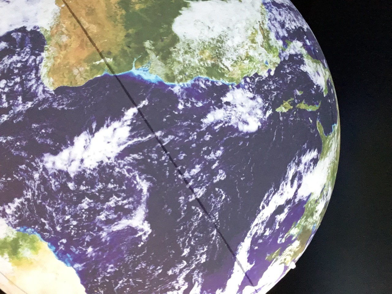
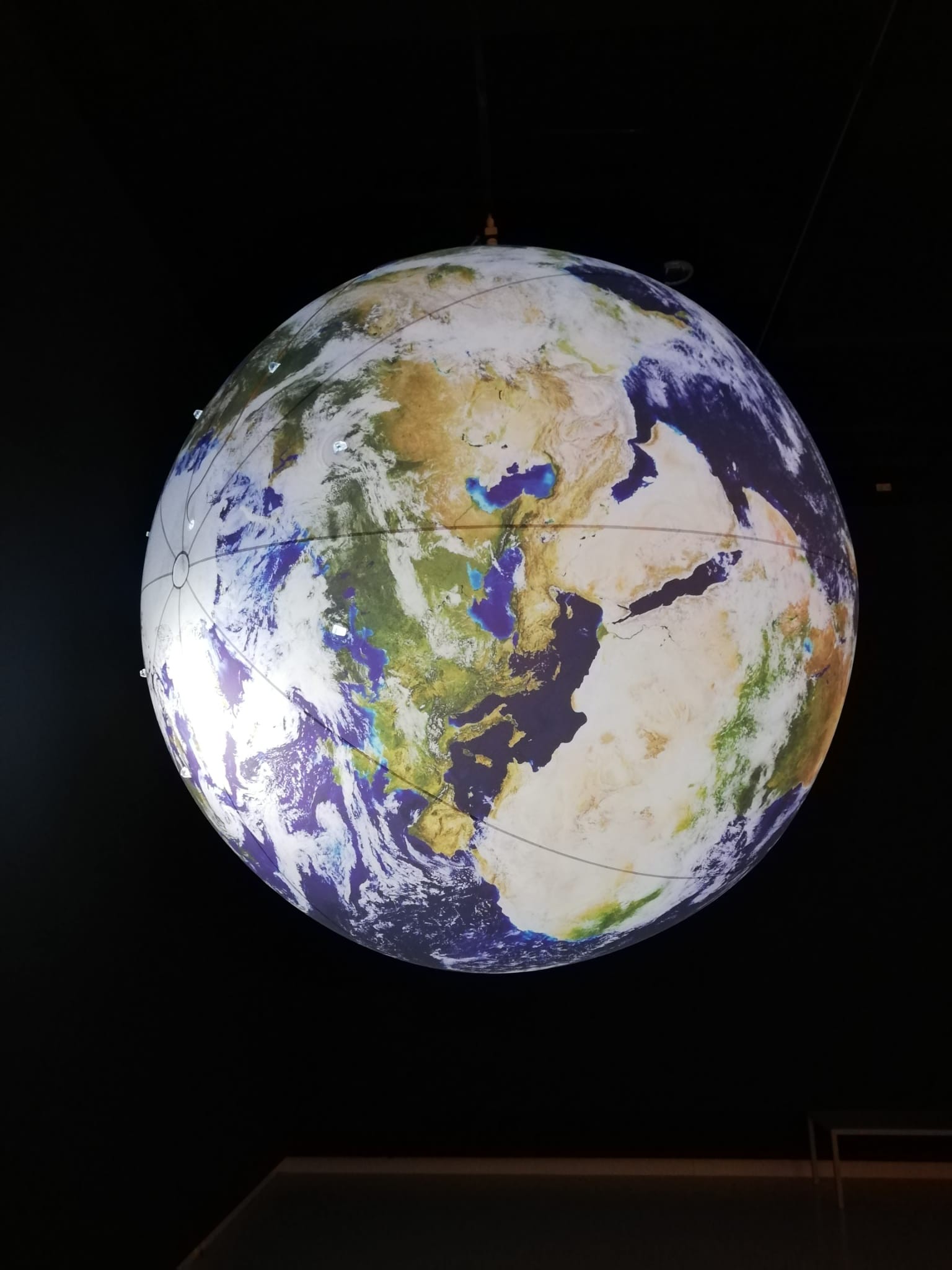
Last month, De Facto took a field trip to Den Bosch and spent quite some time in the exhibition, gazing at a map with Peters projection and being stunned by a huge inflated globe tilted so that the poles are sideways instead of the North-South orientation we’ve been familiarized with.
Suzanne Hendriks
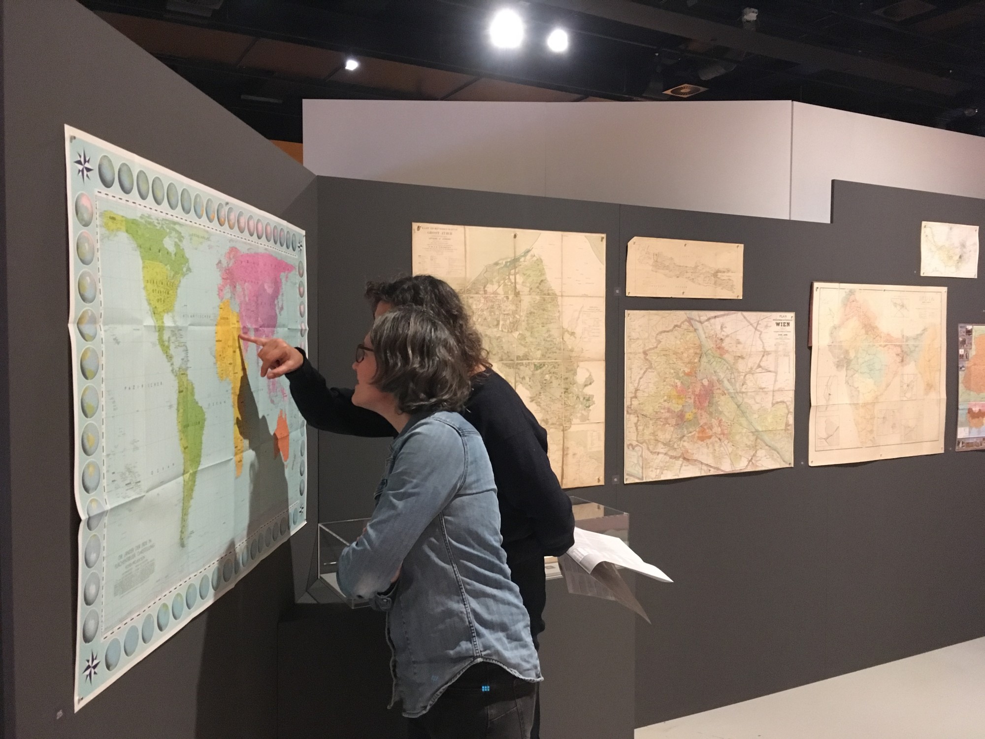
The exhibition is in one of the museum’s rooms, but every map is a world in itself. The selection of maps is largely sourced from the collection of John Steegh and Harrie Teunissen, and supplemented by loans. Steegh and Teunissen are passionate collectors of anything map-related, between them, they have over 19,000 maps and 2,500 atlases. An example of a loan is the so-called ‘stippenkaart’, a 1941 density map and spatial analysis of the Jewish population of Amsterdam, made by the Amsterdam municipality for German occupiers. Each dot represents 10 Jews.
Divided into ten spheres or topics, you will find maps of cities, realms and realities, ranging from a Second World War Besiedlungsplan for nazi colonization to a map of the internet, and a future map of the Netherlands after seawater rising has become more of a reality. Euro coins have been magnified to recognize the maps that are on them and you’ll find a table cloth with Soviet territory.
Suzanne Hendriks
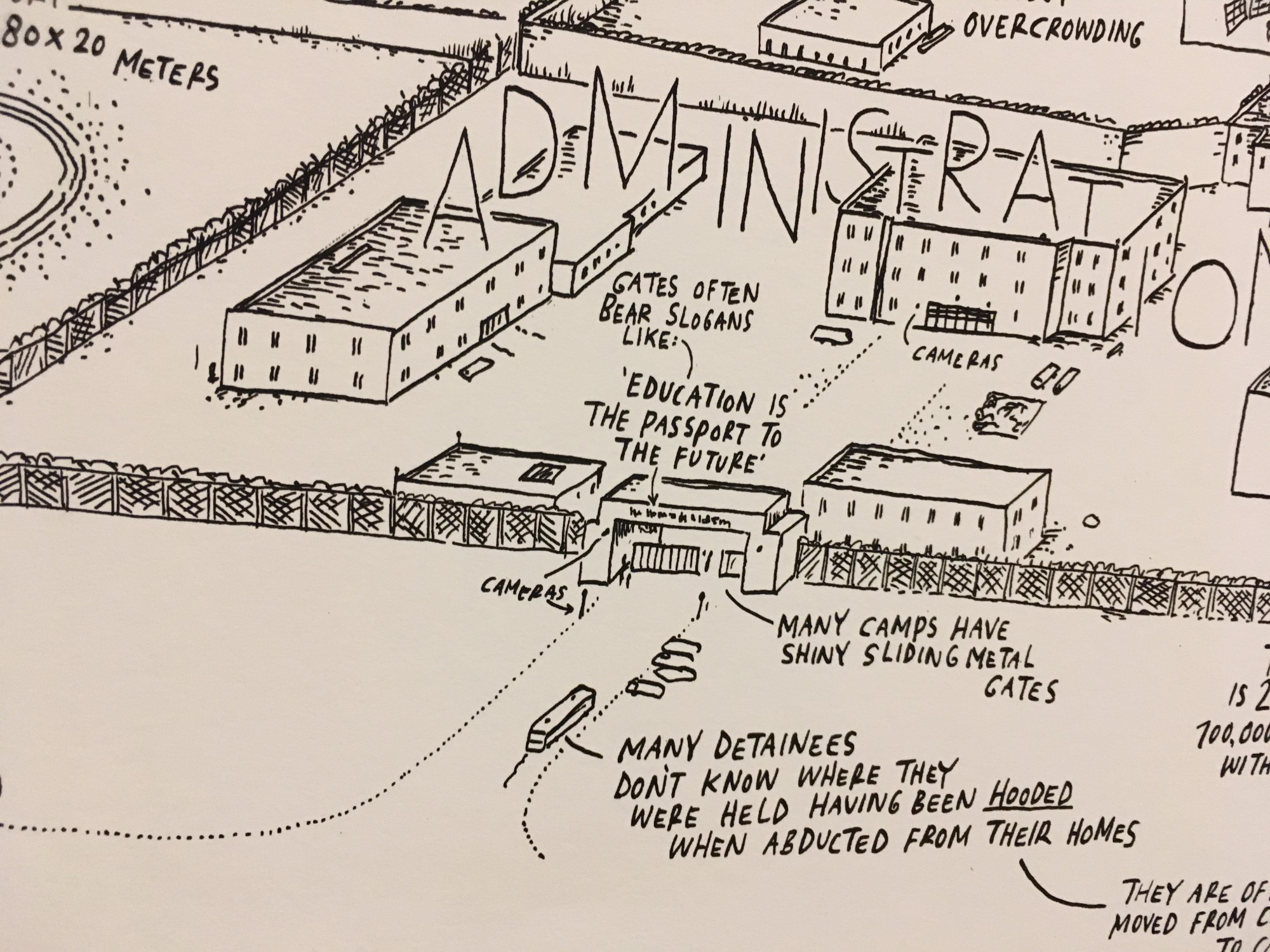
Another highlight is the map Jan Rothuizen assembled from witnesses accounts of Chinese re-education and punishment camp Mongolkure. There is also a bi-polar map of the world, challenging the way we look at the world. And a replica of the Peutinger map, a Roman road map of the then known world, is paired with a gay guide to Bangkok, illustrating how maps plot our routes and direct our gaze and experiences.
The Design Museum also organized workshops on creating your country, but all of them were during the Christmas holiday. You can, however, join a tour by a museum guide or enjoy the exhibition by yourself. You can visit until the 3rd of March, 2024, so be quick!
The exhibition ‘Mapping Modernity’ is on display until 3 March 2024 at the Design Museum Den Bosch