De Facto Live On Tour #3
- 3 June 2024
- Suzanne Hendriks
With Ukrainian musician Oleg Lysenko, Elten-born Wim Tjerkstra on post-war border corrections and professor Henk van Houtum about why we should change our maps and atlases. Of course also with graphic designer Floor Koomen with a talk about stamps, a quiz by Suzanne Hendriks and moderation by Jorie Horsthuis.
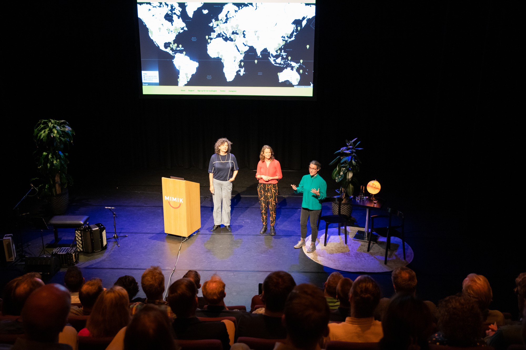
De Facto Live on Tour #3 at Mimik, Deventer.
Jerney Hakkenberg‘Which border would you like to see disappear?’ we asked the visitors of the third De Facto Live on Tour at lovely Mimik in Deventer. ‘None, I’m happy there are borders’, someone answered. ‘The border between Gaza/West Bank and Israel’, said another. ‘The border between black and white thinking’, wrote a third. ‘Life isn’t straightforward and has gray zones, and there is nothing wrong with that.’
The evening was filled with borders, border zones and border stories. Oleg Lysenko kicked off the evening with music on one of his accordions. Being from Ukraine, he follows the news from his motherland every day. The war didn’t start in the last couple of years, but ten years ago, with the referendums in the separatist regions of Donetsk and Luhansk oblasts and the invasion of Crimea that followed. With concerts all across Europe, he is raising money for ambulances in the border area. To deliver the ambulances, he can only travel to the border – to take a step inside Ukraine would mean he could be drafted. Jorie Horsthuis interviewed him and after the break, he played some more music, and conjured up howling gusts of wind and sawing forced laborers reminiscent of The Gulag Archipelago by Russian writer Aleksandr Solzhenitsyn.

Oleg Lysenko on the accordion.
Jerney HakkenbergMoving closer to home, we listened to the story of Wim Tjerkstra. After the Second World War, the Dutch sought to get some kind of compensation for the damage they had suffered. Financial retribution was not an option, so the Netherlands wanted to annex large parts of Germany and add them to the Dutch territories. In 1949, only some minor border corrections took place in Tudderen and Elten. Wim Tjerkstra was born in Elten, right after the Dutch annexation. As a son of a German mother and Dutch father, he was no stranger to experiencing dual identities, but many of the original inhabitants of Elten were not sure what to expect from being Dutch all of the sudden. After 14 years, the annexed areas were returned to Germany. All of them? No, not all of them. An area near Nijmegen called Duivelsberg was annexed and remained Dutch. You can do some beautiful hiking there and find (a replica of) an old border post that says ‘Laat Vriendschap heelen wat Grenzen deelen’ (‘may friendship heal what borders divide’). You can check out Dutch history program Andere Tijden and their episode that features these historical border corrections.

Jorie Horsthuis interviewing Wim Tjerkstra about Elten and the postwar border corrections it was part of.
Jerney HakkenbergGraphic designer Floor Koomen zoomed in on geopolitics in the South-Chinese sea. Over 250 islets, rocks and atolls are rising up and below water along with the tide. Who controls land, controls the sea surrounding it, so new islands are created by reclaiming land from the sea, complete with lighthouses. And these lighthouses end up on beautiful stamps, a further step by the Chinese government to mark their control over the area.

Floor Koomen zoomed in on some beautiful stamps depicting islands in the South Chinese Sea.
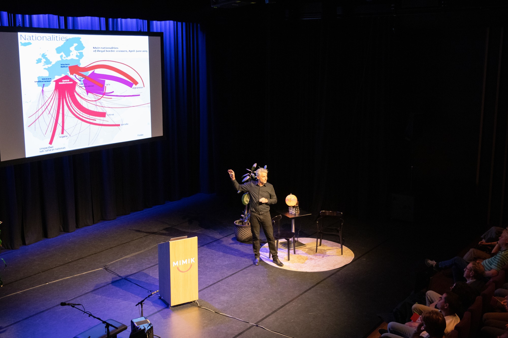
Jerney HakkenbergHenk van Houtum, professor of political geography at Radboud University, wrote Free the Map, in which traditional maps are challenged and new cartographic stories and representations are discussed and encouraged (click here for De Facto’s review). In his compelling presentation, he argued that with the ubiquitousness of maps, it’s easy to overlook that all maps are a story, not a reality. Van Houtum uses the example of Magritte’s painting, “Ceci n’est pas une pipe” to illustrate this point. The painting reminds the viewer that although a depiction of a pipe might look like a pipe, it’s in fact NOT a pipe itself, and this is also the case with maps. It’s not THE world you are looking at when you are gazing at a map, but a depiction of it. Something you should keep in mind with any map you get your hands across.

Quiz by researcher Suzanne Hendriks
Jerney Hakkenberg
The youngest winner we ever had at a De Facto quiz.
Jerney HakkenbergDe Facto is a project of graphic designer Floor Koomen, journalist Jorie Horsthuis and researcher Suzanne Hendriks.
This event is supported by Deventer Cultuur Club, Stichting Erven Witteveen and Jeannette Hollaar Fonds.